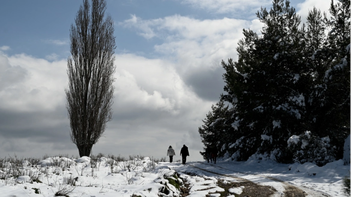
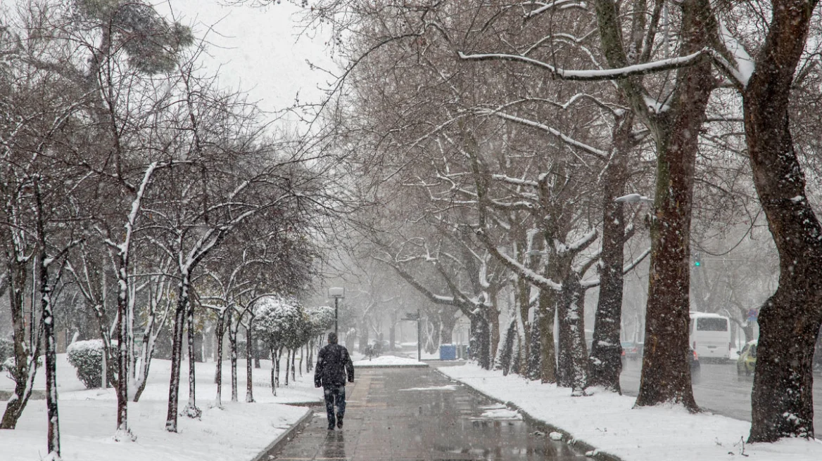
The new week in Greece will continue without significant rainfall, dominated by strong Meltemi winds in the Aegean. These winds will persist until Friday, bringing cooler conditions to coastal areas. Starting Saturday, however, temperatures will gradually rise, reaching above-normal levels for the season. Maximums are expected around 35–37°C in most regions, according to meteorologist Klearchos Marousakis.
Winds throughout the week will stay at 6–7 Beaufort, possibly strengthening slightly on Thursday but not exceeding 8 Beaufort. Local, brief showers will occur in mountainous and inland regions—mainly in the Peloponnese, Macedonia, and Epirus—during the afternoon and evening.
Authorities remain on high alert today in Heraklion, Lasithi, Chios, Samos, Ikaria, and Karpathos. According to the Fire Risk Prediction Map, these areas face a very high fire danger (Category 4). The General Secretariat for Civil Protection has informed all relevant state services, regional authorities, and municipalities to be on increased readiness to respond immediately to potential fire outbreaks.
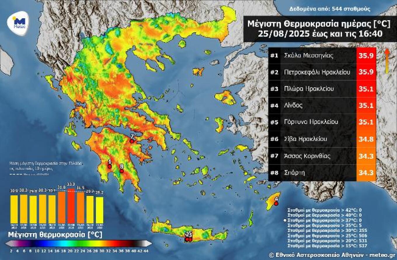
On Monday, August 25, temperatures remained stable, with highs of 35–36°C. The highest maximums were recorded in Skala, Messinia, and Petrokefali, Heraklion at 35.9°C. Only 5 out of 544 active meteorological stations reported values above 35°C.
Today’s weather will be predominantly sunny with a few local clouds. By midday, clouds will increase over the Ionian and mainland regions, bringing showers or isolated thunderstorms in Thessaly, Central Greece, the Peloponnese, and possibly Macedonia. Some showers may also occur in parts of the Ionian Islands.
Temperature ranges by region are as follows: Western Macedonia 12–28/29°C, the rest of Macedonia and Thrace 14–30/32°C, Thessaly 15–32/34°C, Epirus 17–33°C, other mainland regions 16–32/34°C, Ionian Islands 18–32°C, Aegean Islands and Crete 19–30/32°C, and the Eastern Aegean and Dodecanese up to 33–34°C.
In the Aegean, winds will blow from the north at 4–6 Beaufort, later shifting northwest with the same strength. In the Ionian, they will initially be northwesterly up to 4 Beaufort.
In Athens (Attica), some clouds are expected, locally denser. Winds will be northeasterly at 3–5 Beaufort. Temperatures will range from 24 to 32/33°C. In Thessaloniki, clouds will increase at midday, with a chance of showers or storms mainly in mountainous areas. Winds will be southeasterly at 3–4 Beaufort. Temperatures will range from 22 to 29/30°C.
On Wednesday, August 27, the weather will be generally clear with some afternoon clouds over mainland regions, mainly in the Peloponnese, where local showers may occur. Winds will be from the north, 3–7 Beaufort. Temperatures will not change significantly, reaching up to 34°C inland and in southern islands.
On Thursday, August 28, and Friday, August 29, the weather will remain generally clear. Winds will be from the north, 3–7 Beaufort, with a slight rise in temperature expected.
On Saturday, August 30, the weather will start mostly clear, but by midday clouds will develop in the Ionian and gradually in Epirus, bringing showers and scattered thunderstorms. Winds in the west will blow from the west and later the south at 3–5 Beaufort, while in the east they will remain northerly with the same strength. Temperatures will remain stable.
Ask me anything
Explore related questions