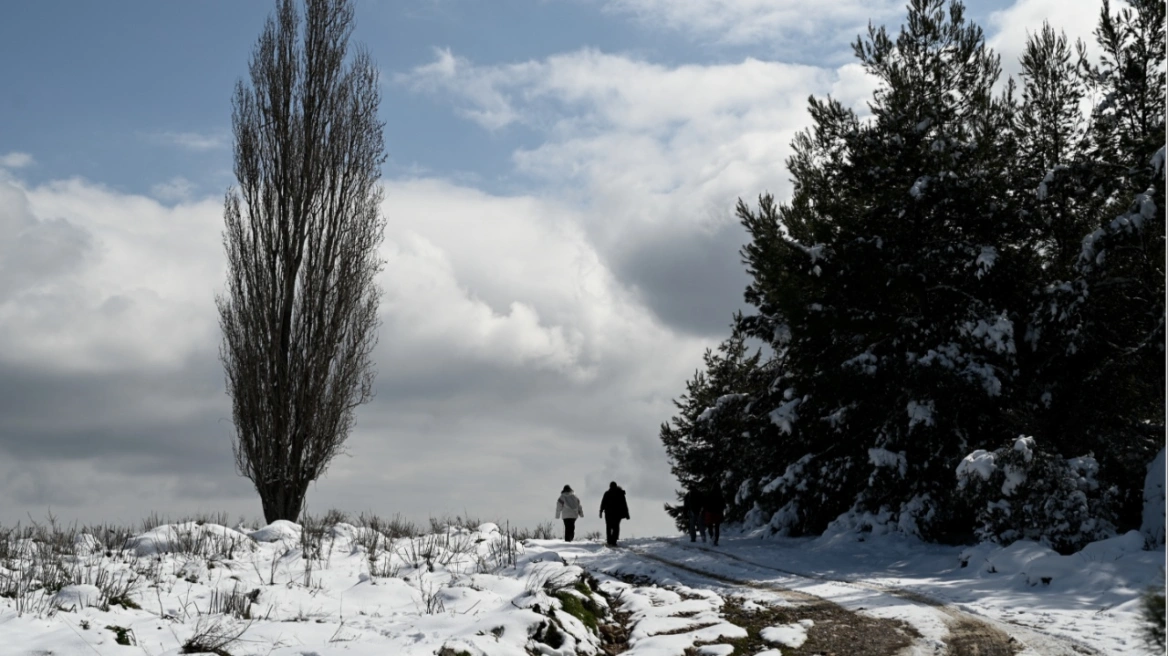
November, which traditionally is a rainy month, brings from today 2/11 cloudiness and rainfall in the west and south which are expected to persist during the week.
Sakis Arnaoutoglou: Weather changes from 7/11, mercury drops
According to Sakis Arnaoutoglou, from Sunday morning there are local rains in the SW Ionian. From Sunday night we enter a new instability in western Greece and on Monday dawn in the same areas we will have thunderstorms mainly in the northern Ionian and the western parts of Epirus.
On Tuesday the weather changes even more with rain in the west and NW, but also in the NNE of the country. And in Attica we will have rain and on Wednesday we will have instability in the eastern most parts of the country.
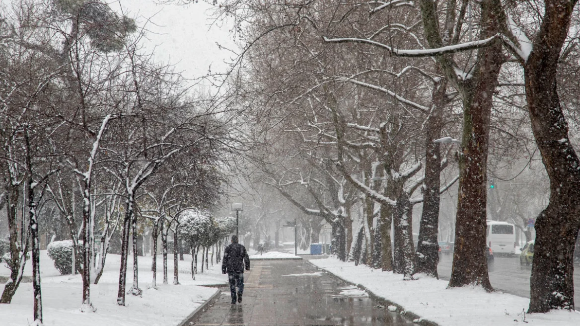
From Tuesday however the weather is expected “to get cold” initially from the north and east of the country and until 11/11 the temperature will drop further.
Weather today
In the Ionian, in the western mainland, in Sterea and in the Peloponnese rains are expected locally and at times. Scattered thunderstorms may occur in the west and mainly in the Ionian islands. In the rest of the country passing clouds will prevail. At night and early in the morning visibility in the mainland will be locally limited and fog will form.
Temperature will range in Western Macedonia from 3 to 20 degrees, in the rest of Macedonia and Thrace from 5 to 22-24, in Thessaly from 8 to 22-23 degrees, in Epirus from 8 to 21-23 degrees, in the rest of the mainland from 12 to 23-25, in the Ionian islands from 14 to 22-23 and in the Aegean islands and Crete from 14 to 23-25 degrees Celsius.
In the northern Aegean northeasterly winds will blow with intensities 4-5 Beaufort, while in the rest of the Aegean northerly winds with the same intensities will blow. In the Ionian southerly southeasterly winds will blow also with intensities 4-5 Beaufort.
In the prefecture of Attica and in the city of Athens we expect passing clouds with possibility of temporary showers. Winds will blow from northerly directions with intensities 3-4 Beaufort. Temperature will range from 17 to 22-23 degrees.
In Thessaloniki we expect passing clouds. At night and early in the morning visibility will be limited. Winds will blow from various directions with intensities 2-3 Beaufort. Temperature will range from 13 to 21-22 degrees.
Weather Monday 3 November
In the Ionian, Epirus, western Sterea and western Peloponnese increased clouds with local rains and gradually scattered thunderstorms. In the other areas thin clouds which locally in the mainland and western Crete will thicken so it is possible light local rains occur. Visibility in morning and evening hours will be locally limited.
Winds will blow in the west from southerly directions 3 to 4 and in northern Ionian locally up to 5 Beaufort. In the east they will be variable 3 to 4 Beaufort.
Temperature will not show noteworthy change. It will reach 22 to 24 and locally in Crete and the Dodecanese 25 degrees Celsius.
Weather Tuesday 4 November
In the mainland and the central and northern Aegean increased clouds with rains and scattered thunderstorms. In the other areas few clouds temporarily increased with temporary local rains in the Ionian and from afternoon in the Cyclades. Visibility in morning and evening hours will be locally limited.
Winds will blow initially southwesterly 3 to 4 Beaufort but quickly in the north and central they will turn to northerly directions 4 to 6 and from midday locally in the northern Aegean up to 7 Beaufort. Temperature will drop.
Weather Wednesday 5 November
In the eastern mainland and the Aegean increased clouds with local rains and scattered thunderstorms. From afternoon the phenomena will be limited in central and southern Aegean and in the other areas will stop. In the other areas few clouds temporarily increased. Visibility in morning and evening hours will be locally limited.
Winds will blow northerly northeasterly in the west 3 to 5 Beaufort and in the east 4 to 6 and in the Aegean 6 to 7 Beaufort. Temperature will drop.
Weather Thursday 6 November
In the Aegean increased clouds with local rains and scattered thunderstorms which late at night will be limited in the southern areas. In the other areas few clouds locally increased in eastern mainland until midday when it is possible local rains occur.
Winds will blow northerly northeasterly in the west 3 to 5 Beaufort, in the east 5 to 7 and possibly in the northern Aegean locally 8 Beaufort, gradually weakening from midday. Temperature will not show significant change.
Ask me anything
Explore related questions