×
GreekEnglish

×
  • Politics
  • Diaspora
  • World
  • Lifestyle
  • Travel
  • Culture
  • Sports
  • Cooking
Monday
12
Jan 2026
weather symbol
Athens 7°C
  • Home
  • Politics
  • Economy
  • World
  • Diaspora
  • Lifestyle
  • Travel
  • Culture
  • Sports
  • Mediterranean Cooking
  • Weather
Contact follow Protothema:
Powered by Cloudevo
> Greece

Severe weather arriving from Saturday 20/12 with rain and a drop in temperatures – Which areas will be affected – First estimates for Christmas

A new wave of bad weather is at the gates from Saturday 20/12, Marousakis’ forecast for the weather during the holiday period

Newsroom December 17 11:45

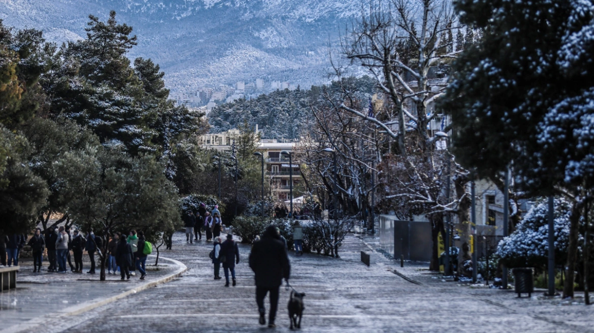
The weather pattern across the country is becoming increasingly wintry as we approach Christmas and New Year’s.

More specifically:

During the three-day period from Wednesday to Friday (17–19/12), no rainfall is forecast across the country, while sunshine will prevail in most areas. Winds are not expected to exceed 5 Beaufort, and temperatures will not show any significant change.

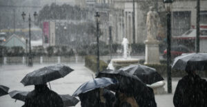
On Saturday (20/12), increased cloud cover is expected across the country, and in central and especially southern regions, local rain cannot be ruled out. Winds will blow from east–northeast in the north and southeast in the south, with intensities of up to 6 Beaufort, while temperatures will remain unchanged.

Marousakis: Bad weather over the weekend, eastern and southern areas affected
The well-known meteorologist had already pointed out in his previous forecasts that a change in the weather was expected, as the “door” to severe weather systems opens in the coming days.

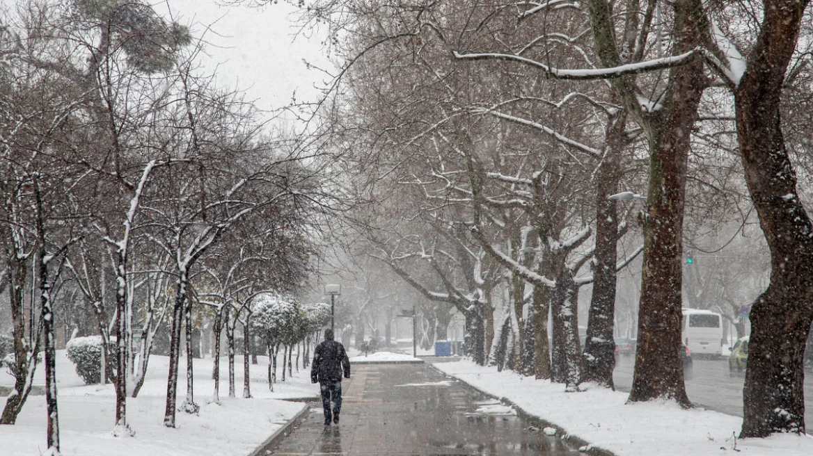
More analytically, as he explains, from Saturday onward the weather pattern changes completely. Colder air masses from central and northern Europe are expected, temperatures will drop noticeably, and rainfall will gradually turn into snowfall.

In fact, it cannot be ruled out that shortly before the change of the year, we may see snow even at low altitudes.

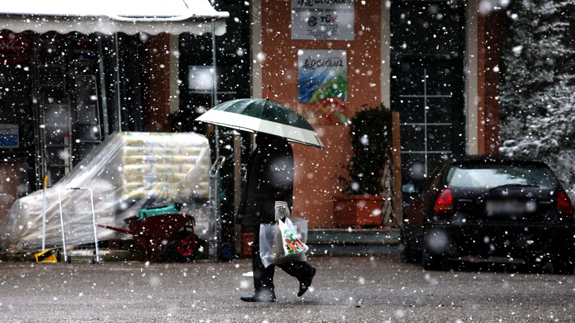
As the well-known meteorologist stated this morning on OPEN TV, from midday on Saturday the weather pattern will gradually change, bringing significant rainfall and thunderstorms, mainly to western, central, southern, and eastern parts of the country.

These phenomena will be more intense south of Lamia, while the central and southern Ionian Sea, the Peloponnese, the Cyclades, Crete, the Dodecanese, the eastern Aegean, and the Attica–Boeotia region along with Evia are expected to receive the highest amounts of rain and thunderstorms.

>Related articles

Urgent Weather Alert from the Hellenic National Meteorological Service: Severe cold wave from this afternoon – Areas where snowfall is expected

Mitsotakis’ first review for 2026: The international community cannot ignore authoritarian regimes

Sports broadcasts of the day: Aris – AEK and the Real Madrid – Barcelona final stand out

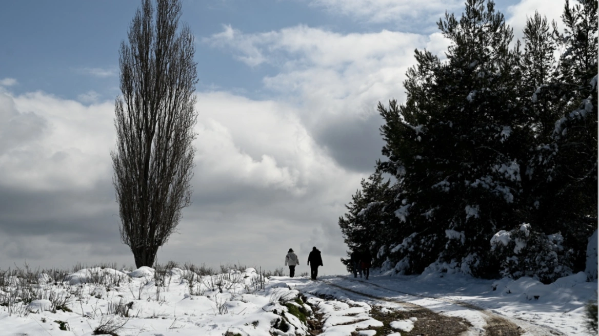
With this bout of severe weather, the “road” also opens for further disturbances during the holiday period, bringing us closer to the turn of the year with a more wintry weather pattern, as he notes.

According to Klearchos Marousakis, on Christmas Eve, Christmas Day, and the following day, it appears that we will experience significant rainfall, as another weather system passes through bringing widespread rain.

Finally, snowfall will mainly occur in the high mountains, temperatures will gradually fall, and the overall setting will become more distinctly wintry.

Ask me anything

Explore related questions

#christmas#greece#weather
> More Greece

Follow en.protothema.gr on Google News and be the first to know all the news

See all the latest News from Greece and the World, the moment they happen, at en.protothema.gr

> Latest Stories

Hits on Russian Lukoil oil platforms from Ukraine

January 11, 2026

In the shadow of the bribery video, Christodoulides’ wife resigns from the Independent Social Support Agency, denounces “relentless” attacks

January 11, 2026

Cartel de los Soles at the Presidential Palace of Caracas: The drug-trafficking network that Chávez set up with Sinaloa and that kept Maduro in power

January 11, 2026

Trump “weighs” a strike on Iran: Military not ready, fears of retaliation – “Foreign terrorists” kill civilians & burn mosques, Pezeshkian says

January 11, 2026

Urgent Weather Alert from the Hellenic National Meteorological Service: Severe cold wave from this afternoon – Areas where snowfall is expected

January 11, 2026

Mitsotakis’ first review for 2026: The international community cannot ignore authoritarian regimes

January 11, 2026

Bob Weir, co-founder of the Grateful Dead, dies at 78

January 11, 2026

Sports broadcasts of the day: Aris – AEK and the Real Madrid – Barcelona final stand out

January 11, 2026
All News

> Greece

Urgent Weather Alert from the Hellenic National Meteorological Service: Severe cold wave from this afternoon – Areas where snowfall is expected

A rapid deterioration of the weather is expected from Sunday afternoon, with snow in mountainous, semi-mountainous, and lowland areas of northern Greece. The Risk Assessment Committee of Civil Protection convened

January 11, 2026

Weather: Temperature plunge of up to 10 degrees from today through Tuesday – Where it will snow

January 11, 2026

Three-day cold spell hits the country with a sharp temperature drop – Where it will snow (videos)

January 10, 2026

Severe weather arriving from tomorrow with temperatures dropping by up to 10°C – where it will snow

January 10, 2026

Tornado lifts moving car into the air, moments of terror for the driver (video)

January 9, 2026
Homepage
PERSONAL DATA PROTECTION POLICY COOKIES POLICY TERM OF USE
Powered by Cloudevo
Copyright © 2026 Πρώτο Θέμα