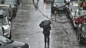
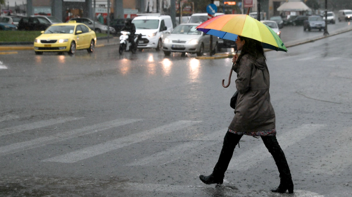
Severe weather conditions have been affecting Attica since the morning of Wednesday (21/1). At the moment, rainfall is being recorded in various areas of Athens, while rain has also started in the city center a short while ago.
More specifically, according to information from meteo.gr, rainfall is currently being recorded in Vrilissia, Ilioupoli, Piraeus, Chalandri, Kifisia, Psychiko, Peristeri, Alimos, Vyronas and Marousi.
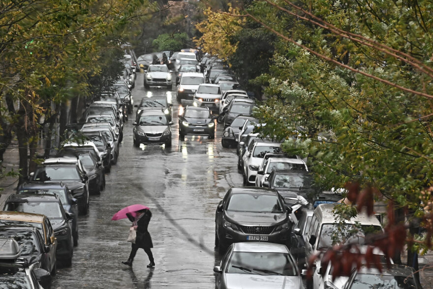
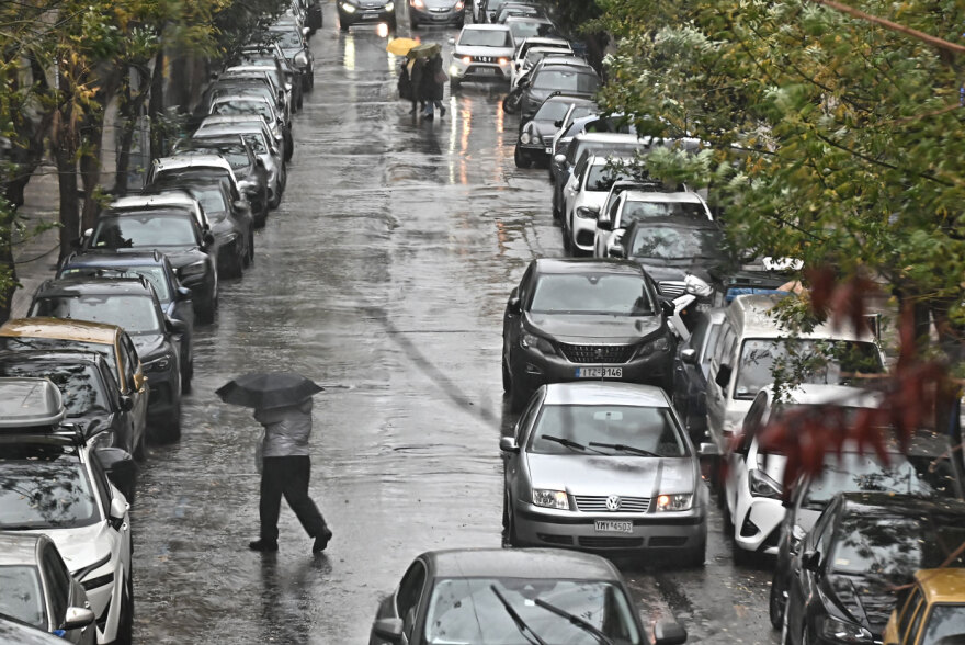
Citizens holding umbrellas are struggling with cold winds and persistent rainfall. Those without protection from the rain are rushing to take shelter under apartment buildings, bus stops and roofs.
In addition, strong winds and rain are prevailing at the old port of Spetses, with large waves crashing forcefully against the pier.
Earlier, an alert message was sent via 112 in Attica due to the severe weather. The Civil Protection message urges citizens to limit their movements because of the intense phenomena expected to affect Attica.
“Due to intense weather phenomena expected to affect the Region of #Attica from midday until late Wednesday night, limit your movements to absolutely necessary ones. Follow the instructions of the authorities,” the 112 message states.
Kolyvas on the weather: Severe conditions in Attica in six-hour intervals
Theodoros Kolydas also presented updated forecast data on the evolution of the severe weather on his website. As he notes, the latest data indicate that the phenomena will not necessarily be extreme in intensity, but will be long-lasting and persistent.
This means that the rainfall, even if moderate at times, may cause problems due to its prolonged duration, especially in urban areas such as Attica.
For this reason, attention is focused more on how long the severe weather will last rather than on how intense it will be at each stage.
The well-known meteorologist even provides a detailed six-hourly forecast for the evolution of the weather in Attica.
Kolydas’ detailed forecast for the evolution of the severe weather
“Based on the latest forecast data from the European Centre, we examined in detail the evolution of the severe weather affecting the country, dividing the episode into four consecutive six-hour periods.
This approach allows for a more realistic assessment of the temporal distribution of the phenomena and avoids oversimplifications that often lead to erroneous conclusions.
It should be noted that the European model differs from the GFS and ICON mainly in terms of estimated rainfall amounts. So far, however, the European model has shown more reliable and stable behavior, while its latest runs converge toward slightly increased 24-hour accumulated precipitation compared to the morning forecasts, without changing the overall picture of the severe weather.”
Ask me anything
Explore related questions